


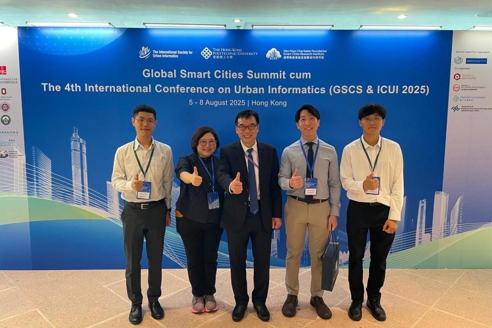
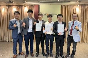
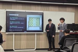
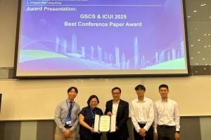
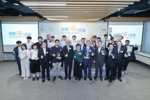
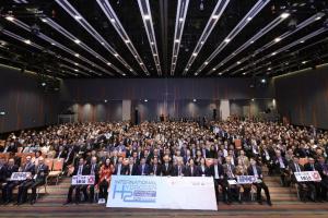
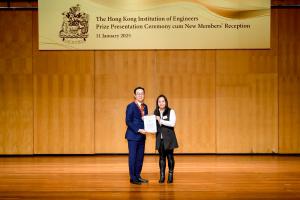
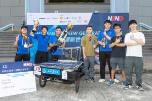
A student team from the Higher Diploma in Geospatial Science and Land Surveying earned recognition for their exceptional research at the “ Global Smart Cities Summit cum The 4th International Conference on Urban Informatics (GSCS & ICUI 2025),” hosted by The Hong Kong Polytechnic University. Their project, titled “Comprehensive 3D Mapping of Hong Kong Using Advanced Land Surveying Technologies for Smart City Development: A Case Study in Tseung Kwan O Waterfront Park,” was honoured with the Merit Conference Paper Award.
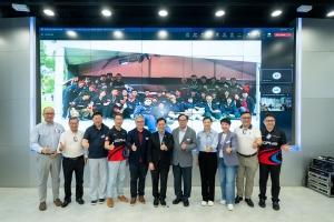
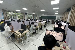
The three-day conference brought together over 240 scholars and industry experts from around the globe to exchange cutting-edge insights and innovations in urban informatics and smart city development. The outstanding performance of our IVE Engineering students showcased their professional expertise, innovative thinking, and strong teamwork, making a lasting impression at this international academic forum.
The award-winning project utilises advanced land surveying technologies to create a comprehensive map of Tseung Kwan O Waterfront Park through aerial drone photogrammetry, terrestrial LiDAR, and marine bathymetric surveys, contributing to the enhancement of smart city development. Using Tseung Kwan O Waterfront Park as a case study, the project presents a detailed 3D model that facilitates a deeper understanding of Tseung Kwan O Waterfront and advances the development of a digital twin and urban informatics.
Drones, Laser Scanners and AI-powered machine vision are used to capture high-quality images and generate land use maps with object detection. These maps help planners build smarter to make cities more livable.
Multibeam Echo Sounders (MBES) on unmanned survey vessels (USVs) are used to create high-resolution 3D seabed maps even in shallow waters. This improves marine safety and coastal infrastructure monitoring.
By integrating all data into a combined 3D model, this project offers planners, engineers, and the public a clear view of Hong Kong’s infrastructure. Modern surveying enhances safety, efficiency, and sustainability, building a smarter city for all.
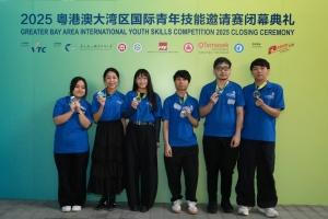
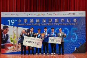
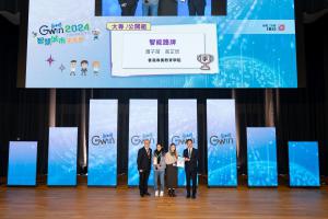
Award winners
|
CHAN Chi Keung |
HD in Geospatial Science and Land Surveying – Year 2 Student |
|
FUNG Chun Yiu |
HD in Geospatial Science and Land Surveying – Year 2 Student |
|
LAM Yuk Lun |
HD in Geospatial Science and Land Surveying – Year 2 Student |
|
SO Man Yee |
HD in Geospatial Science and Land Surveying – Year 2 Student |
|
ZENG Lin |
HD in Geospatial Science and Land Surveying – Year 2 Student |
|
ZHANG Zhenwei |
HD in Geospatial Science and Land Surveying – Year 2 Student |


.jpg)


.jpg)
.jpg)
.jpg)
.jpg)
.jpg)
.jpg)
 .jpg)
.jpg)
.jpg)
.jpg)

.jpg)

.jpg)
.jpg)
.jpg)
.jpg)

.jpg)

.jpg)
.jpg)
.jpg)
.jpg)
.jpg)
.jpg)
.jpg)
.jpg)

.jpg)
.jpg)
.jpg)
.jpg)
.jpg)


